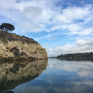
The Coastal Corridor
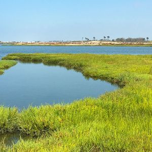
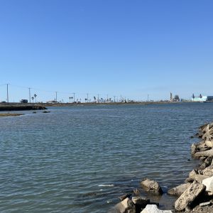
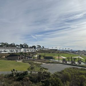
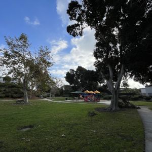
The Coastal Corridor extends along the Orange County coast including portions of Huntington Beach, Costa Mesa, and Newport Beach. Generally located between Bolsa Chica and Upper Newport Bay and inland along the Santa Ana River up to about Adams Street, this geography draws millions of visitors each year from around the globe, and covers a diversity of habitats, park-types, park managers, and communities and neighborhoods. We recognize the interconnectedness of the lands and waters and how they serve as a refuge for the plants and animals that call these places home and those that use these places as a stopping point during a longer, broader migration.
While we recognize many organizations are already working in this geography, our goal is to elevate the work, bring momentum to the effort, and ensure a thoughtful, cohesive, and well-planned approach is taken to support the entire suite of properties. With this broader scope we hope to elevate issues we have in common.
The coastal lands and waters in CCA’s geography include:
General History
Documented evidence shows that Native Nations peoples have inhabited the Coastal Corridor for several thousand years. This is not surprising as the landscape includes a high mesa at the mouth of the Santa Ana River. This provides a great vantage point, as well as being in proximity to abundant food sources. This area was part of a large and significant Indigenous settlement known as Genga. At the time of European colonization, several tribes were living in the area, with the Gabrieliño to the north and the Acjachemen (or Juaneño) to the south.
In 1810, the Coastal Corridor lands were part of a very large 63,000-acre tract known as Rancho Santiago de Santa Ana. This Rancho was granted, by the Alta California Governor, to Jose Antonio Yorba, and his nephew Pablo Peralta. Over the subsequent decades, portions of Rancho Santiago de Santa Ana were sold off.
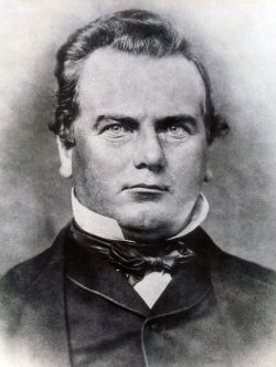
In 1851, Phineas Banning, the “Father of the Port of Los Angeles,” arrived in San Pedro, California. He built his own staging and shipping company, and with investors acquired land adjacent to San Pedro for port expansion of the harbors and docks. In 1874, his wife, Mary Hollister Banning, acquired 4,077 acres of prime farm and ranch land (the original Banning Ranch), located in the vicinity of the Santa Ana River for $17,500. Subsequent years saw most of the original ranch sold off. About 25% of the original Banning ownership remains as undeveloped land in the Coastal Corridor.
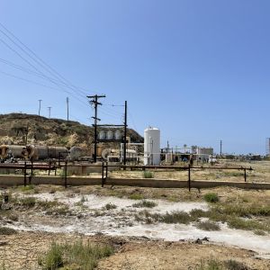
The oil boom came to Orange County and in 1943 oil was struck with the Banning Well #1. Since the late 1950s, the site has produced nearly 36 million barrels of oil.
Today
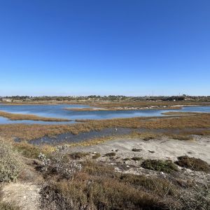
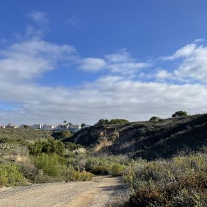
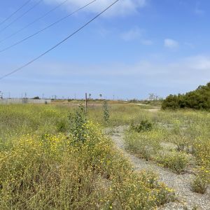
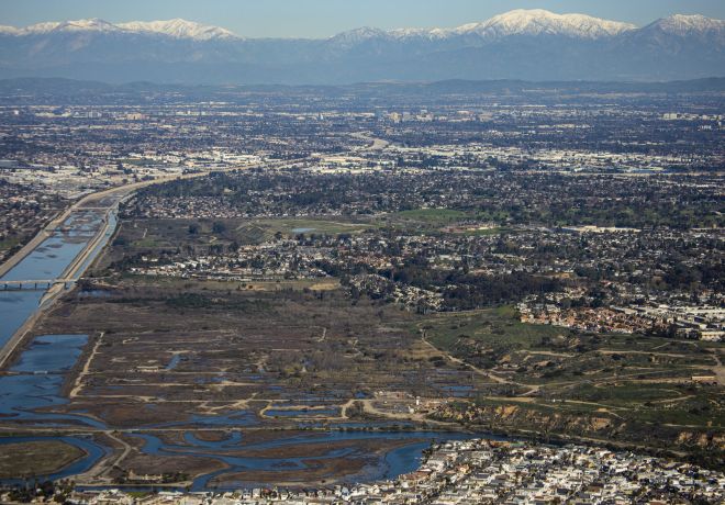
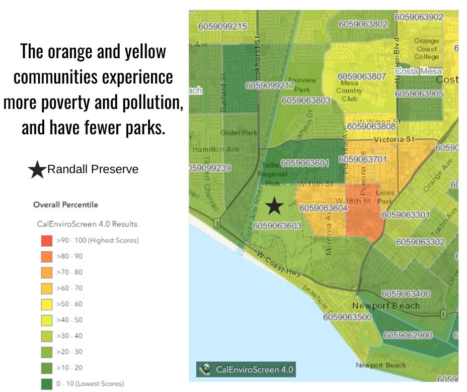
Presently, only a portion of the original ranch remains, and is composed of wetlands, coastal bluffs, arroyos, and mesas situated north of the Pacific Coast Highway between the Santa Ana River and Superior Avenue. Due to its status as a working oil field, it has escaped the high-density development that is characteristic of most of Newport Beach, Costa Mesa, and Huntington Beach. In November 2006, Newport Beach voters approved a General Plan prioritizing the acquisition of Banning Ranch as an open space amenity for the community and the region.
Presently, only a portion of the original ranch remains, and is composed of wetlands, coastal bluffs, arroyos, and mesas situated north of the Pacific Coast Highway between the Santa Ana River and Superior Avenue. Due to its status as a working oil field, it has escaped the high-density development that is characteristic of most of Newport Beach, Costa Mesa, and Huntington Beach. In November 2006, Newport Beach voters approved a General Plan prioritizing the acquisition of Banning Ranch as an open space amenity for the community and the region.
